Geomatics Africa is a Hermanus-based multi-disciplinary land surveying company, specializing in high accuracy, cadastral, topographical, engineering surveys. Geomatics Africa stays up-to-date with the latest developments in the surveying industry. By making use of the latest technological advances, such as 3D laser scanning, they are able to provide an extremely high level of accuracy. Regardless of scale, the Geomatics Africa team is ready to consult with you and ensure that every task is completed with the utmost professionalism, precision and most importantly, within the time constraints given.

Contact Details

  • Primary number Click Here
  • Additional number Click Here
  • Email Click Here

Info

  • Operating Times Click Here
  • Address Click Here
  • Payment Methods Click Here
  • Cards Accepted Click Here
  • Currencies Accepted Click Here

Business Information

About

About

Image

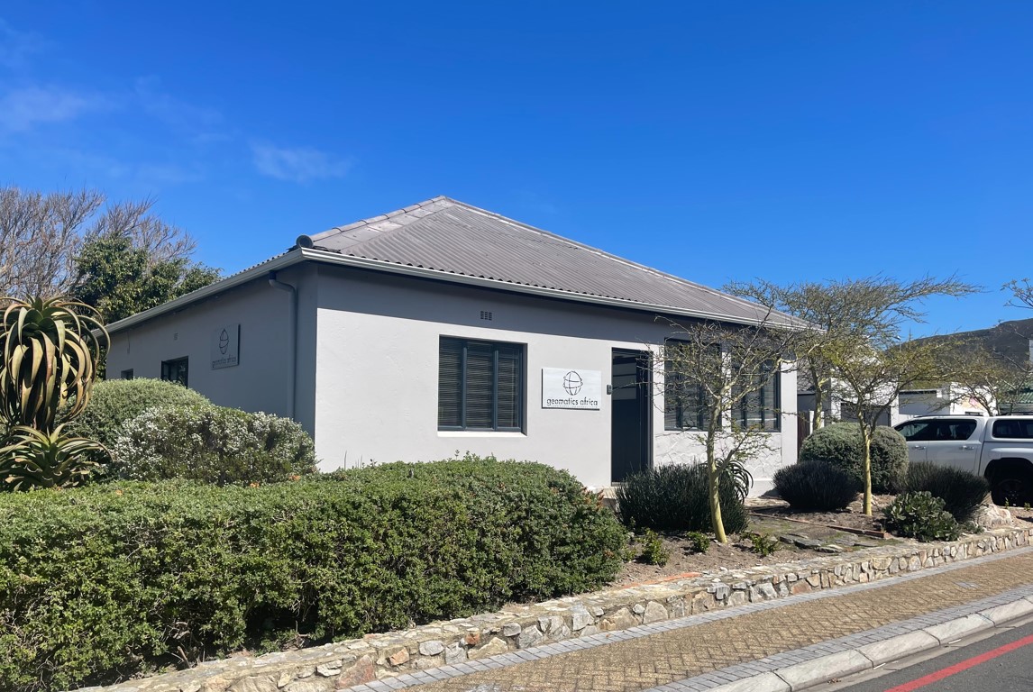
Geomatics Africa was established in 2000 and Nicholas Clark, land surveyor and owner, offers his professional services throughout the Overberg, the Cape Peninsula and the Garden Route.

Qualifications:

  • BScSur Degree at the University of Cape Town (UCT)
  • South African Geomatics Council (SAGC)
  • South African Geomatics Institute (SAGI)

Why use Geomatics Africa?

To manage risks, delays and prevent unplanned costs when it comes to property developments it makes sense to consult and retain the services of a professional land surveyor. This is especially relevant when:

  • A planning application is required
  • The property is to be developed 
  • The property is to be divided into portions
  • A Certificate of Identity (COI) is required
  • The physical position of a property and its boundaries are uncertain
  • There is evidence or allegations of an encroachment
  • The rights in-and-over the property need to be created
  • A survey of a property is required
  • Government legislation requires a diagram
Services

Services

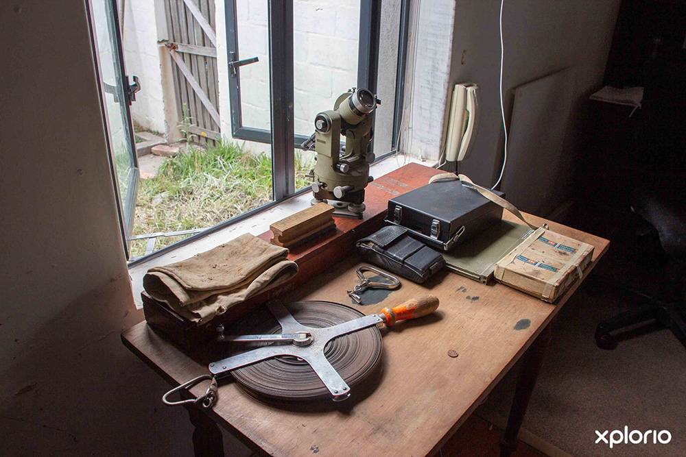
Geomatics Africa offers a multi-disciplinary range of land surveying services which include:

Cadastral Surveys

Cadastral surveys entail the survey of land and also deals with the laws and rights in-and-over land that relates to boundaries. The main types of cadastral surveys are:

  • Subdivision surveys
  • Consolidation of land
  • Creation of servitudes
  • Sectional title surveys
Topographic Surveys

Topographic surveys are a contour survey used by architects and engineers for new dwellings or extensions on existing dwellings.

Engineering Surveys

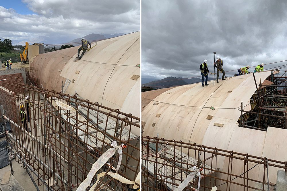
Engineering surveys are done to best determine the way for forward with large scale constructions such as the building of roads, apartments, mall and office complexes. These services may include:

  • Design compliance
  • Site set out
  • Constructed reporting
  • Volume calculations
  • Claims measuring
  • Quality control
  • Engineering advice
3D Laser Scanning

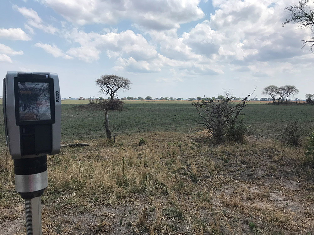
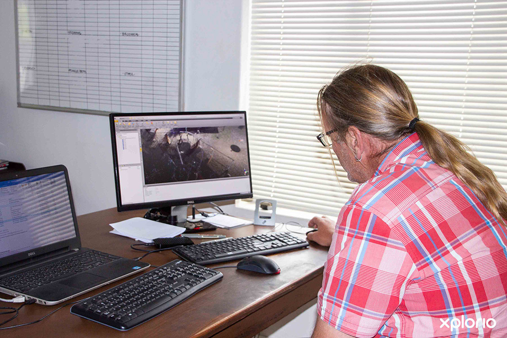
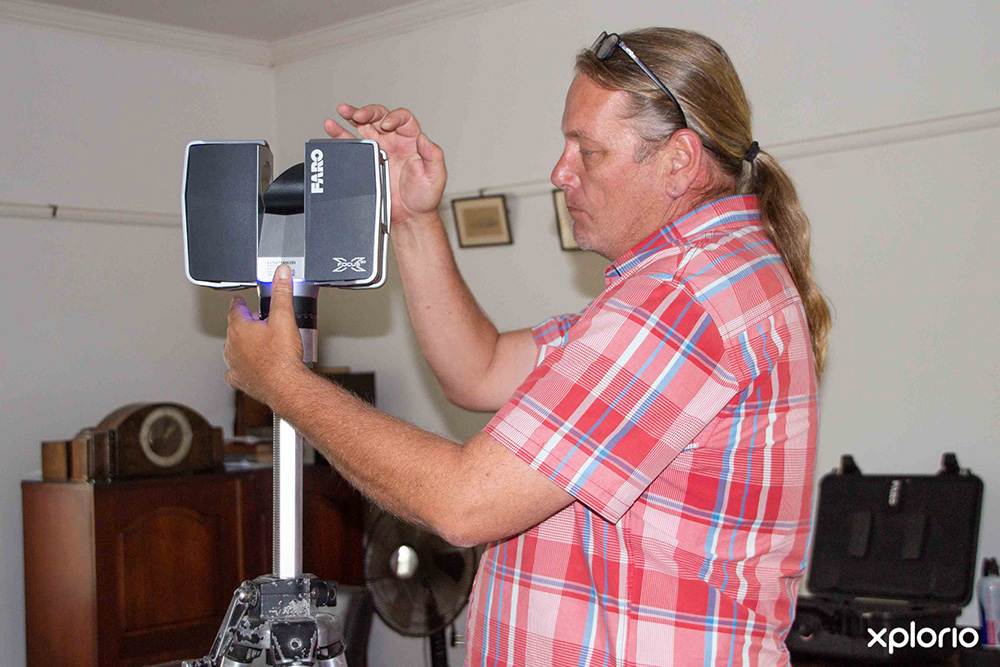
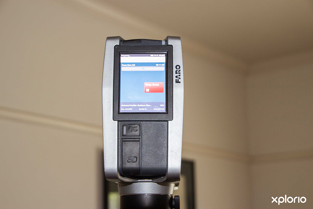
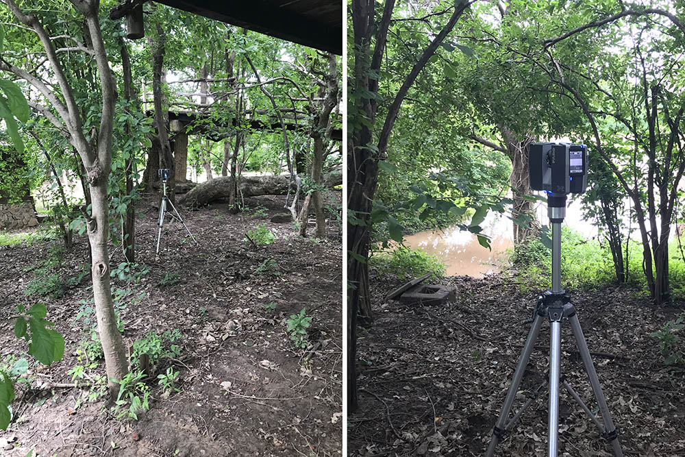
Geomatics Africa uses the latest technology in 3D laser scanning to add a new dimension to each of their projects.  

The 3D survey points collected, combine together to form a point cloud that represents the surface surveyed. Point clouds can be viewed in multi-hued colours (based on signal intensity return) or true colour from a digital camera. This technique provides a solution for the rapid surveying of inaccessible surfaces or complex geometrical details. The data can be linked in 3D to your site grid and matched seamlessly with topographical survey plans, elevations and sections.

Image 1
Image 2
Portfolio

Portfolio

Geomatics Africa is proud to have been involved in several top South African projects which include:

  • Romasbaai Beach and Fynbos Estate, Gansbaai
  • Silver Strand Golf Estate, Robertson
  • De Wijn Landen, Eerste Rivier
  • Aan De Wijn Landen, Eerste Rivier
  • Arabella Country Estate, Overstrand
  • Herron Banks Golf Estate, Sasolburg
  • Amble Ridge Retirement Village, Knysna
  • Knysna Lifestyle Estate, Knysna
  • Mfuwe Game Lodge, Zambia
  • Bosjes Wedding Venue, Worcester
  • Vergenoegd Wine Estate, Stellenbosch
  • Grootbos Private Nature Reserve, Gansbaai
Consultation

Consultation

image left

Geomatics Africa will assist with all your property queries and can advise your rights as a landowner.

To schedule a consultation please enquire directly with Geomatics Africa.
 

Gallery

Map

Nearby Places